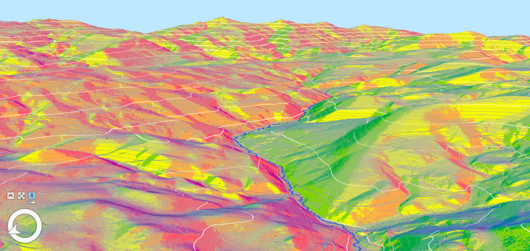
GIS is a specialized field of expertise that covers a broad array of analyses and goals. Its wide-ranging usage can include the management of infrastructure and community assets, feasibility studies, and LiDAR and point cloud analysis. GIS stands for Geographic Information Systems (GIS) which commonly refers to the software, data, and equipment used to capture, manage, and analyze spatial data to make informed decisions.
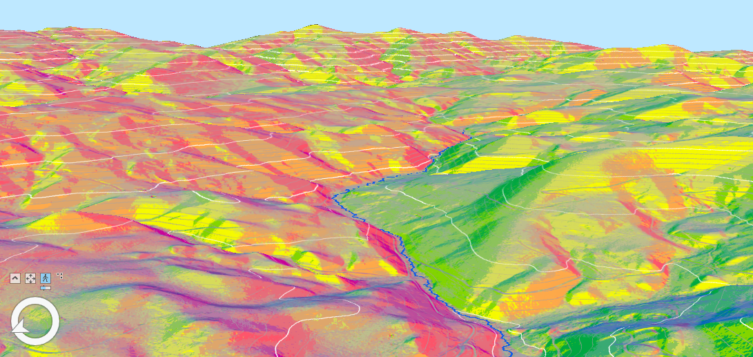
For people who are unfamiliar with GIS, it’s commonly thought of as a tool to make maps. However, when used to combine data, spatial attributes, and data processing tools, GIS has proven to be a useful tool for public entities. Within Great West, our GIS professionals regularly utilized GIS to:
- Assist with asset management and water/wastewater system integration
- Develop web applications geared at accessibility by the general public and non-technical users
- Complete high-resolution data collection/LiDAR survey and analysis
- Assist with hydrologic modeling
- Complete NG-911 addressing data integration
- Develop spatial based analysis and feasibility modeling
- Integrate remote sensing analysis
- Develop GIS database system management and development
- Provide cartographic services
- Photogrammetry
Recently, our team has assisted multiple clients with GIS centered projects, a few examples of this work are:
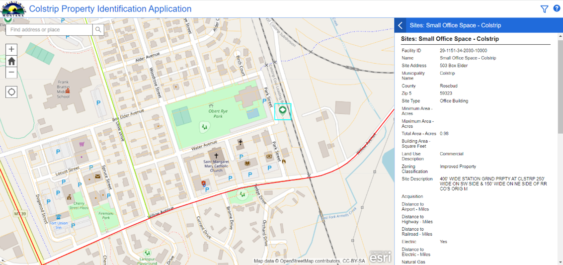
Southeast Montana Development Corporation (SEMDC) – Colstrip Site Selector Tool
Great West Engineering worked in conjunction with SEMDC to develop a GIS based web application and database in order to provide up to date information on properties available for development. Great West and SEMDC were able to develop a system that provides services for a largely un-represented region surrounding Colstrip. Quality data solutions and training now enable SEMDC and the communities they represent to market development in their region.
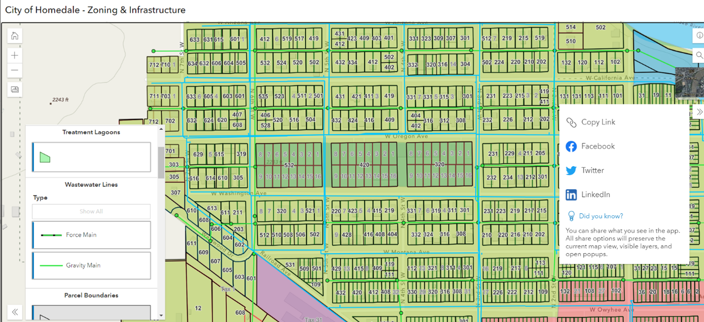
City of Homedale GIS Mapping and Web Application Development
Great West worked with the City of Homedale to transpose all their water/wastewater infrastructure into a GIS database that can be used both internally as well as for public viewing and data sharing. As data was transposed into a GIS database, web maps were developed to be utilized by Public Works as well as the public. Final drafts of the web application are expected to be made public early 2023.
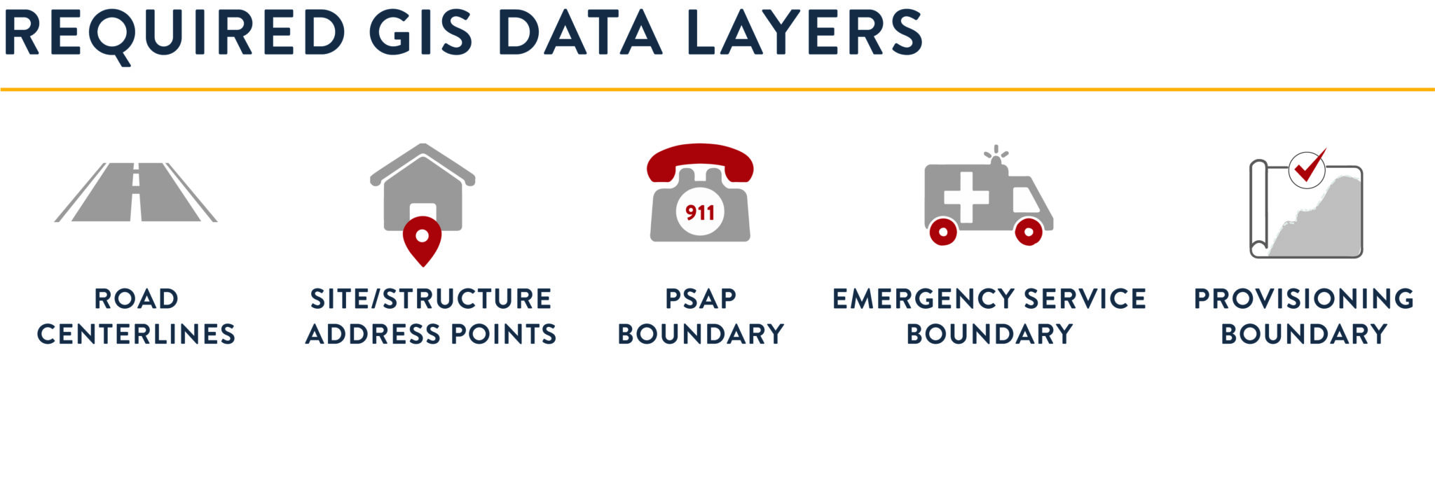
Meagher County NG-911 Addressing Integration
Great West is working with Meagher County to update their current E-911 data into a Next Generation 911 (N-G-911) compliant dataset, including Nation Emergency Number Association (NENA) compliancy. As western states transition into the new wave of emergency response systems, rural communities need to transition their data, support, and support services in order to create a reliable and sustainable emergency response system. Currently in progress, the NG-911 addressing project will allow Meagher County to continue to provide these services now and into the future.
Over the past decade, GIS has become an essential tool for public entities. To learn more about how GIS can help your community or to speak with a GIS professional, contact us today.
LATEST NEWS
Beyond the Blueprint: How GIS Enhances Engineering & Planning Solutions
Geographic Information Systems (GIS) have become an essential tool for communities striving to make smarter, data-driven decisions. From infrastructure planning to public engagement, GIS provides a dynamic way to visualize, analyze, and manage data across a wide range...
Yearly ROSE Award Winners
At Great West Engineering, we take pride in recognizing the dedication and hard work of our team. Each year, the Recognition of Special Effort (ROSE) award honors employees who go above and beyond—those who step up, make a difference, and inspire those around them....
Why Transportation Planning Matters
Transportation planning is the collaborative process of evaluating the current state of a transportation network at a local, state, or regional level, identifying future transportation needs, and outlining implementation and funding strategies to align with...

